Ayetoro and Imeko, Ogun State · 2026
Thirty thousand hectares, recorded farm by farm
Rasad has mapped over 30,000 hectares of farmland, with more to come. The polygons are the base record behind EUDR-compliant supply.
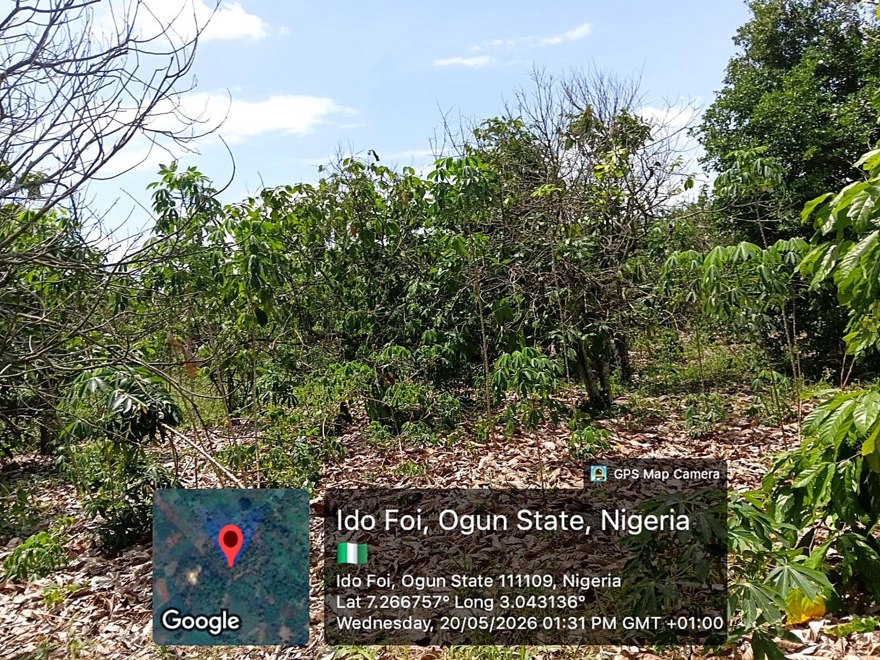
Mapping starts on the farm, not in a spreadsheet. A field officer walks the boundary with the farmer, records the polygon and the coordinates, and files the plot against the supplier who sells from it.
More than 30,000 hectares have been mapped this way, and the work continues. Each plot links a purchase to a place, which is what the EU Deforestation Regulation asks a supply chain to prove.
The record does not stand alone. Supplier identity, purchase and intake information, weighing records, quality checks, lot references and dispatch records connect the crop to the plot it came from. The precise data available depends on the lot.
Buyers who need documentation for a shipment should ask Axias Global, which handles the international commercial chain.
Supplying in Nigeria
Bring the crop to Rasad.
Farmers and licensed buying agents can speak directly with the origin team.
Supply RasadBuying internationally
Take it to market.
Buyers and processors should speak with Axias Global.
Contact Axias Global